
The water circle
The Water Park presents a simplified model of the river from the source to the mouth. The model shows the path that the river flows in nature, under the influence of various environmental conditions and hydrotechnical structures.
The base of the entire structure is an earthwork about 4 m high. Its edges are reinforced with gabions arranged in the form of stairs. There is a source on top of the earth structure. From there, the water flows in a shallow channel through the bell-mouth spillway, the sharp-crested weir, the ogee-shaped weir, the siphon spillway and reaches the drain. The area from the source to the drain imitates a mountain and upland catchments.
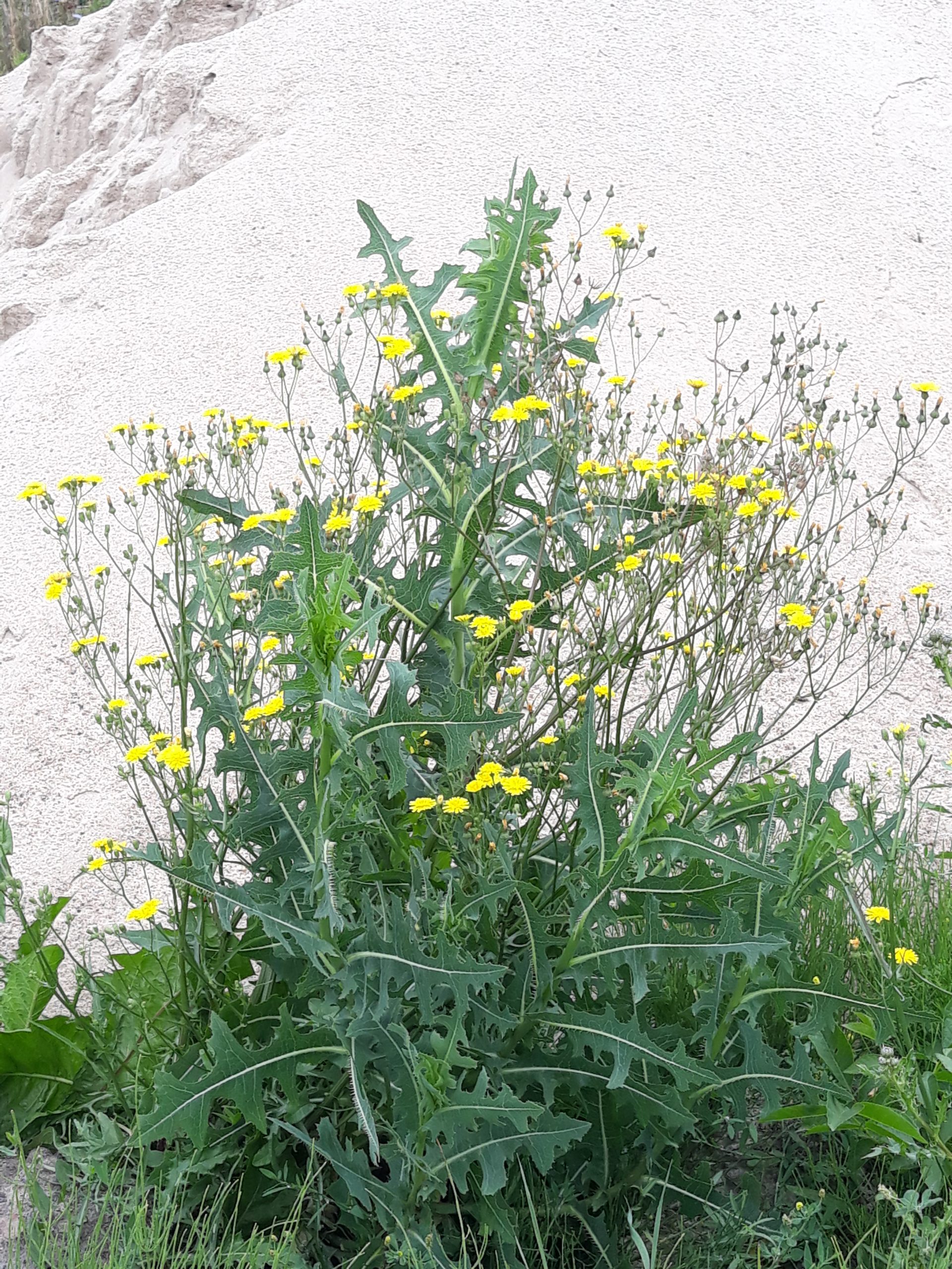
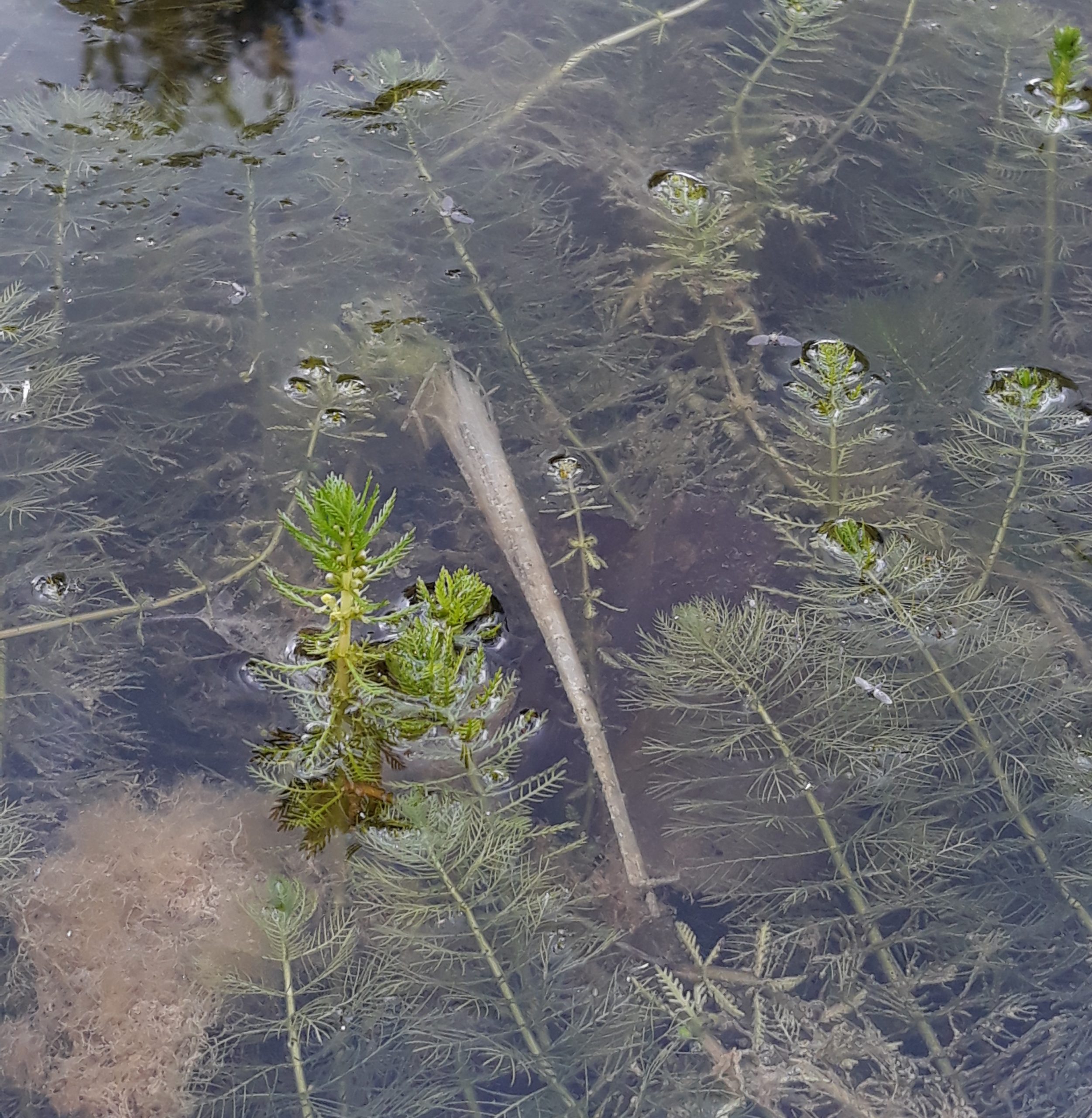
The water flowing through the winding channel flows into the V-shaped bifurcation. Part of the water flows into the left branch and then into the medium pond (120 m²). The remaining amount of water flows into the right branch, mixes with the water flowing from the middle pond and through two weirs flows into the main pond with a surface area of 586 m² and a maximum depth of 2.75 m. This pond is hydraulically linked to the reed bed which acts as a constructed wetland. There is a glass partition and a bridge near the pond.The small pond (85 m²), is a closed system because the water flows into and out of it through the same channel. The entire area including all the ponds and river below the drain is a model of the lowland river catchment.
Devices and ponds
Fauna
Fish in the main pond


